Drawterrain
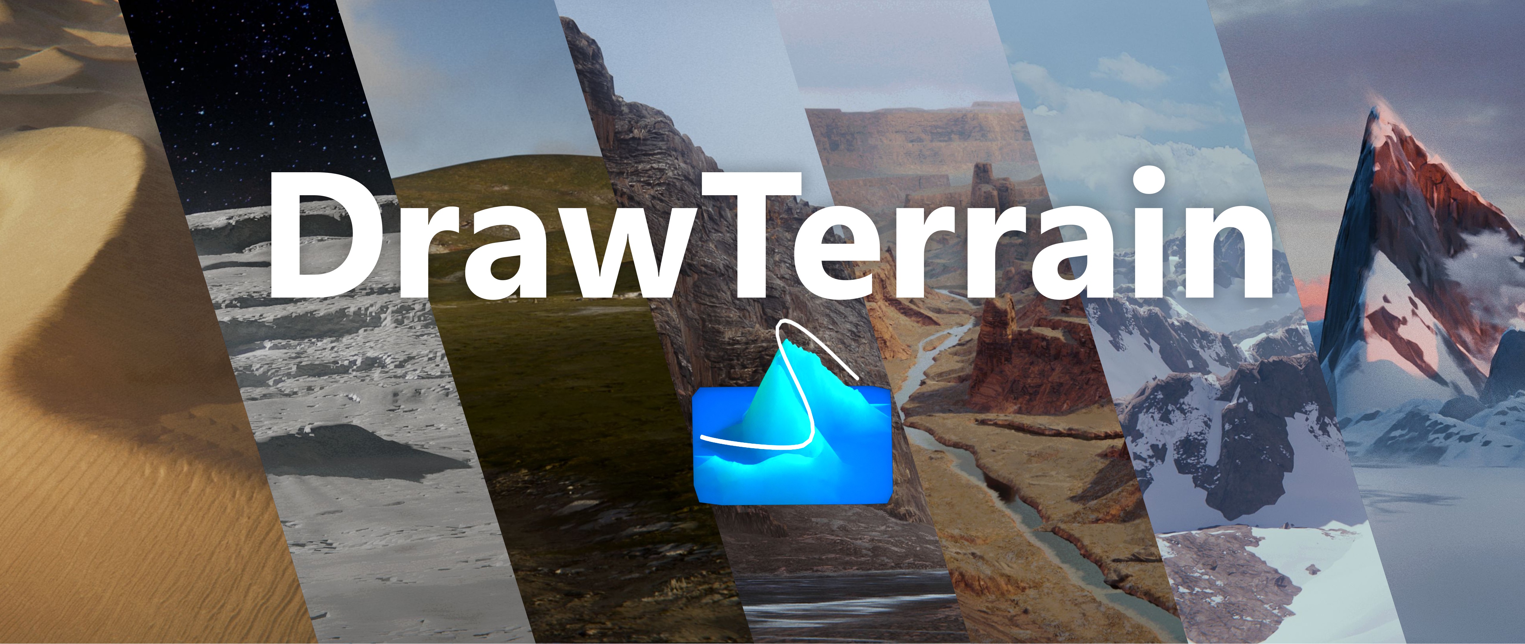


DrawTerrain is a geometry node system that helps you generate terrains with a few brush strokes.
Just add the folder as an asset library and start!
It allows you to visualize your composition evolve in real-time and iterate until the very end.
Thanks to an adaptive subdivision system, you can optimize your terrain and keep it interactive and responsive.

Why did I make DrawTerrain?
Who is it made for?
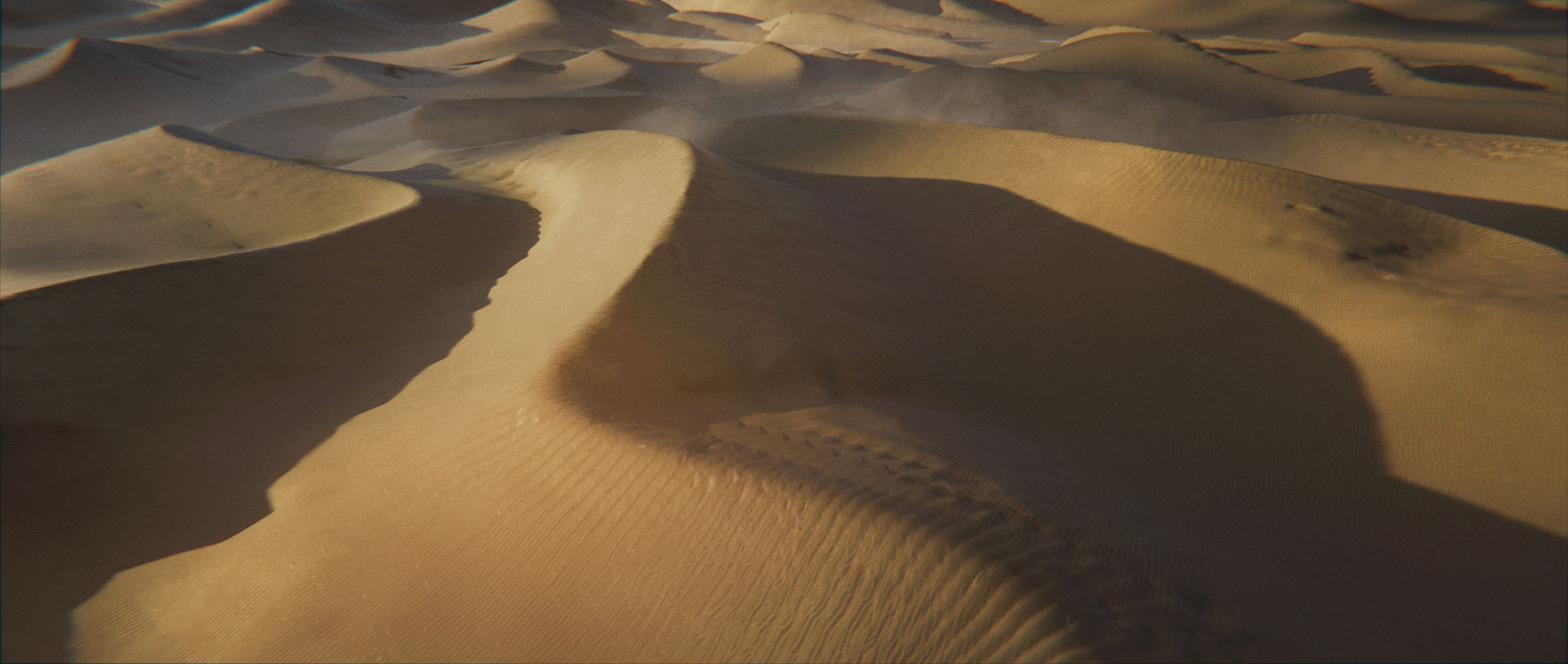
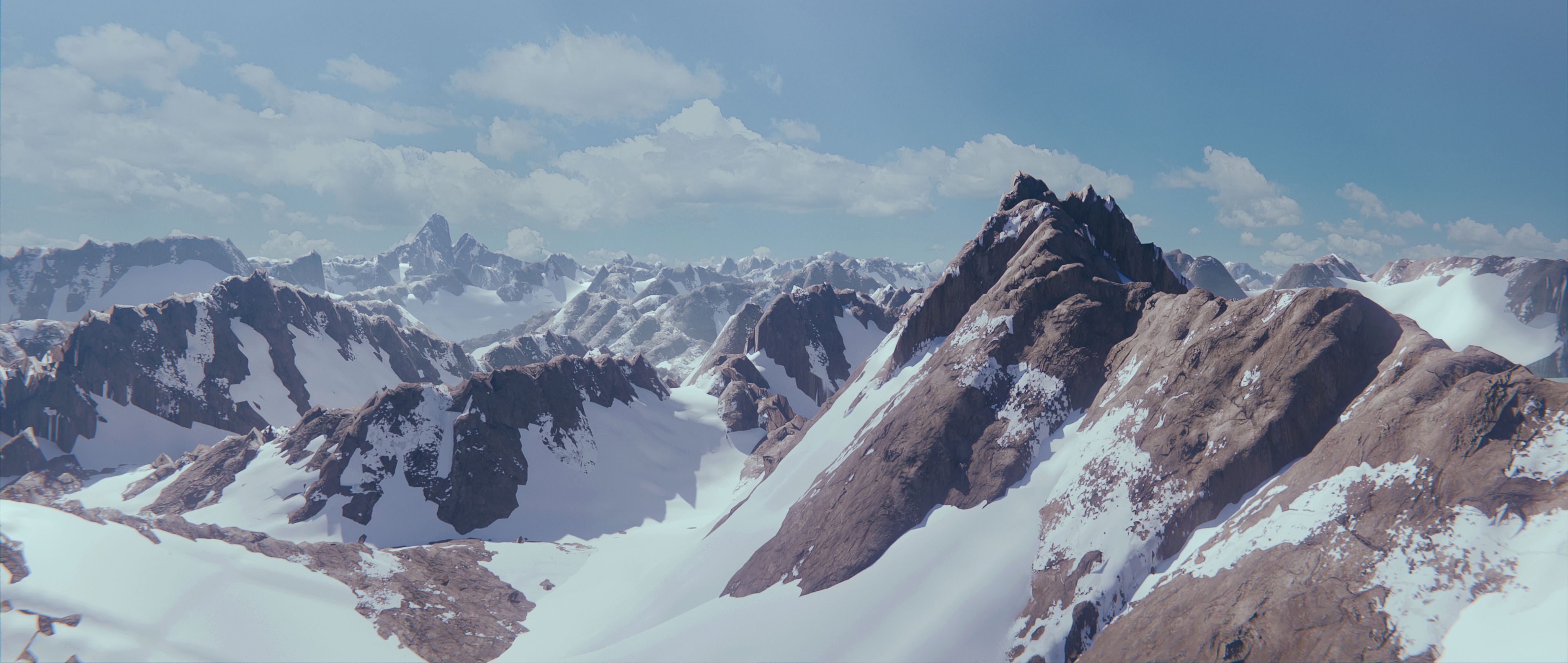
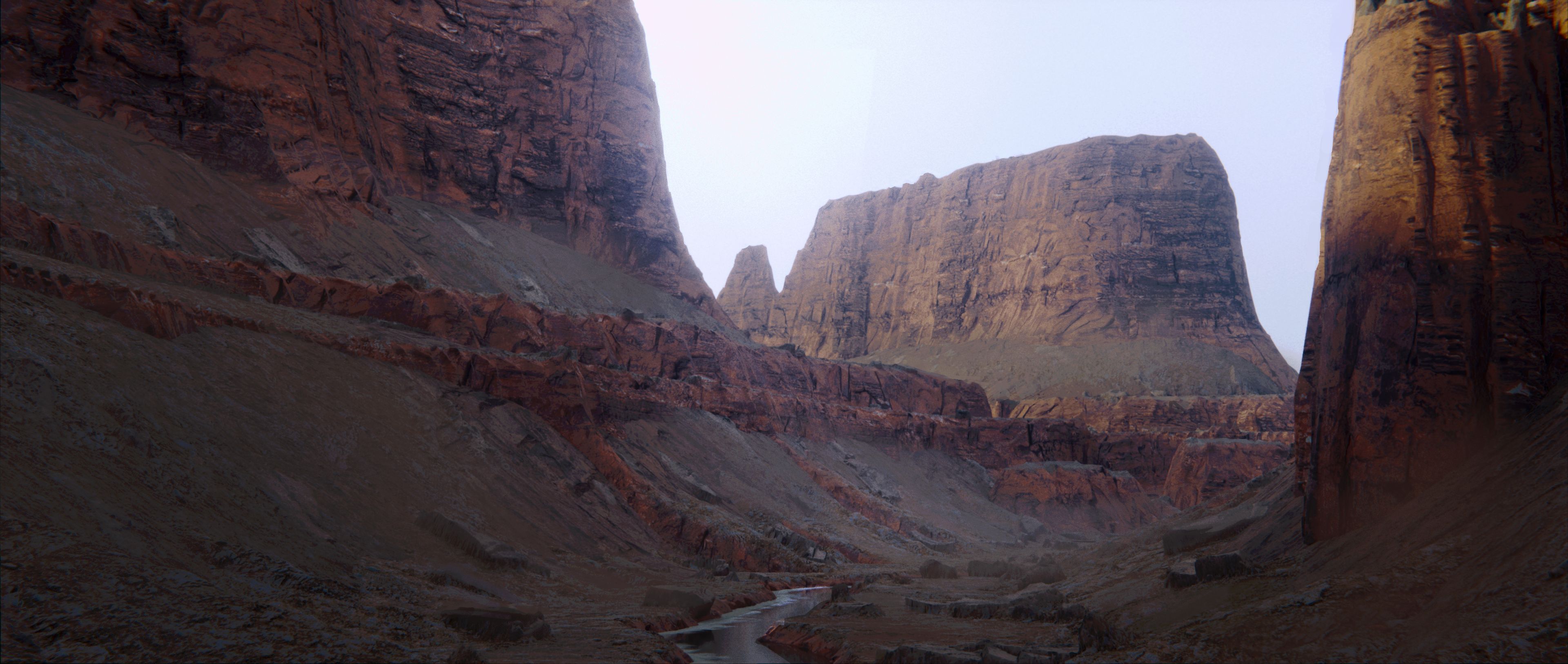
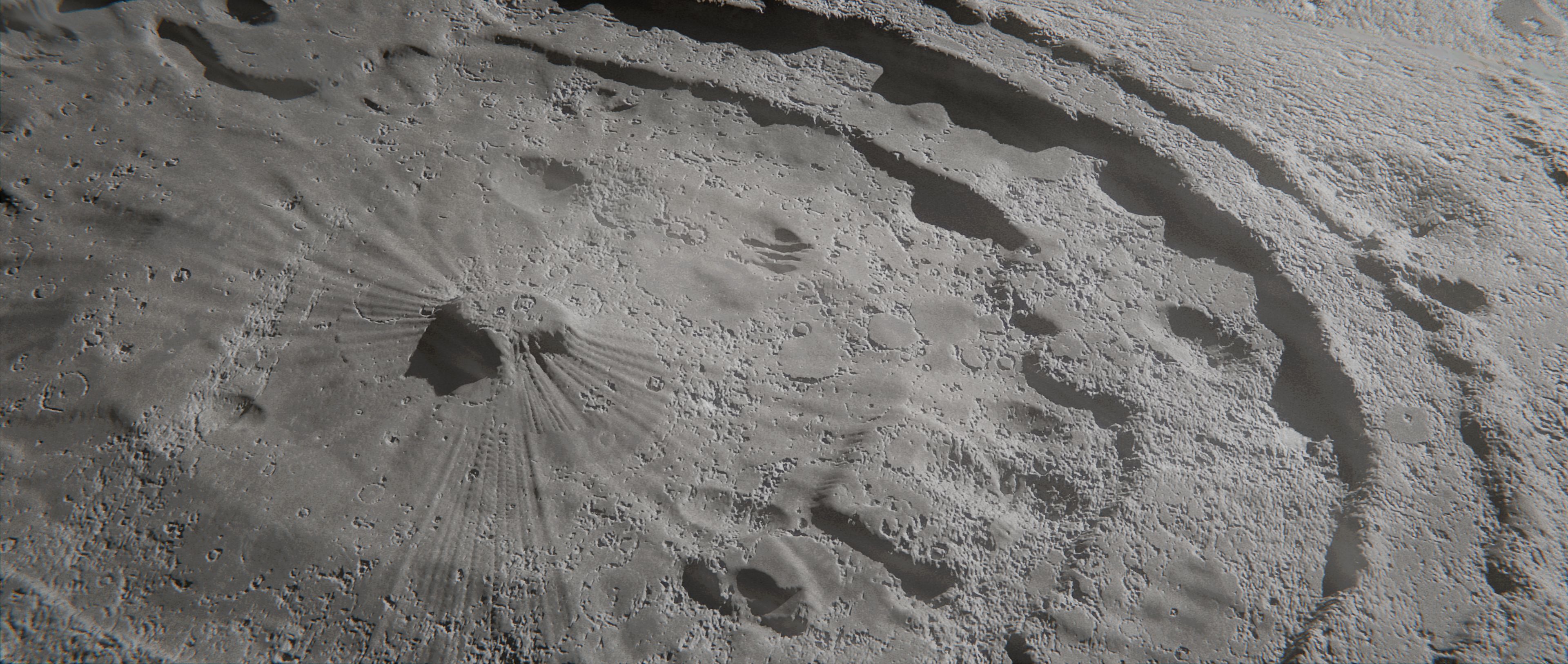
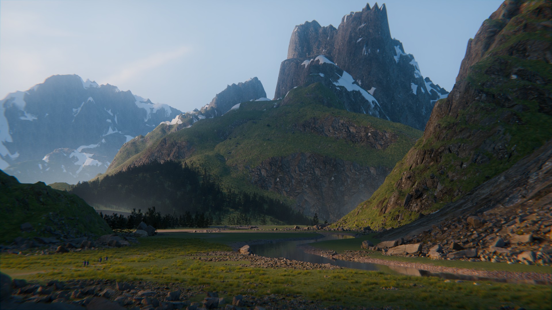
Concept artists, Illustrators, Matte painters and anyone who likes making terrain!Because you can also export your terrain as a Heightmap, it is meant for artists who want to take things to the highest peaks as you can then import it in your favorite terrain creation software like Gaea for example!
_______________________________________________________________________________________________
As for all my tools, I try my best to make them accessible to people from any technical background and any experience level in Blender.
They also are what I call workflow agnostic, meaning that they don't lock you in an ecosystem but are made to be integrated in most ways of working.
_______________________________________________________________________________________________
Features
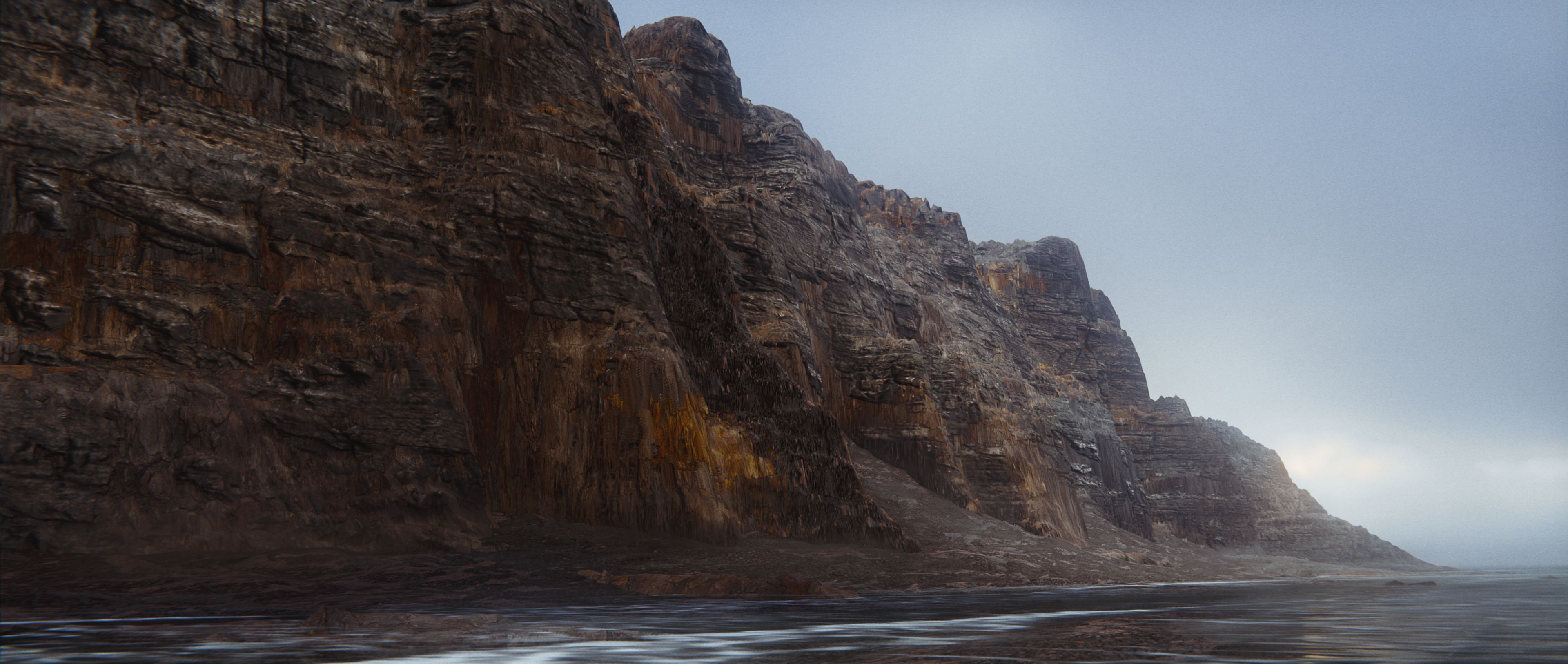
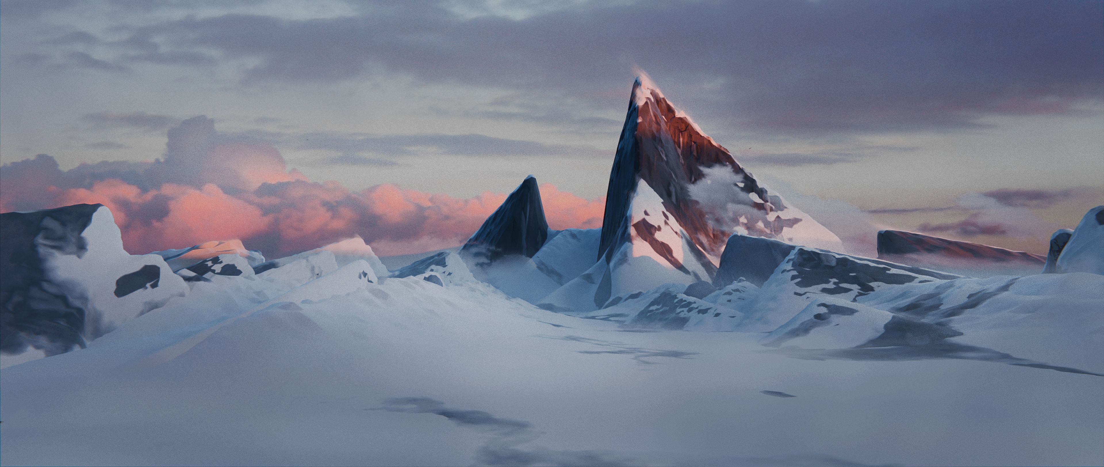
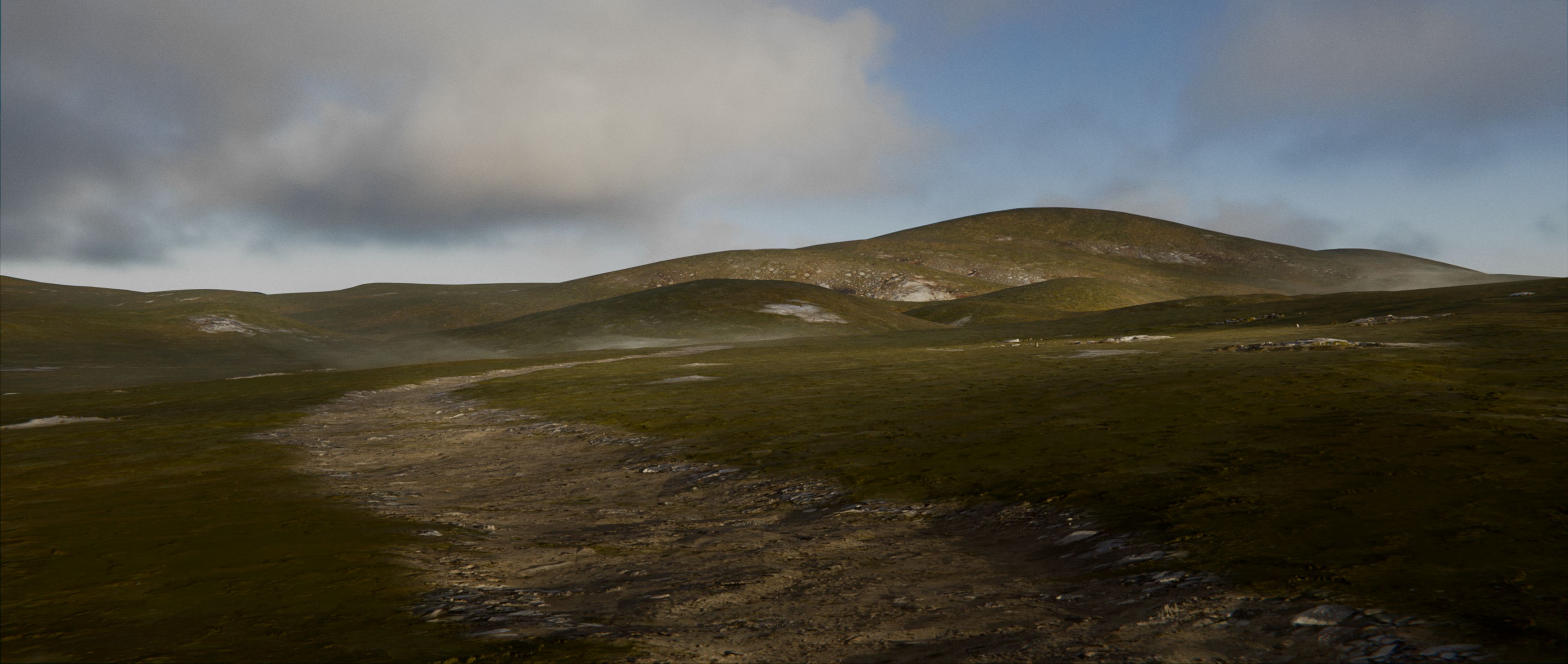
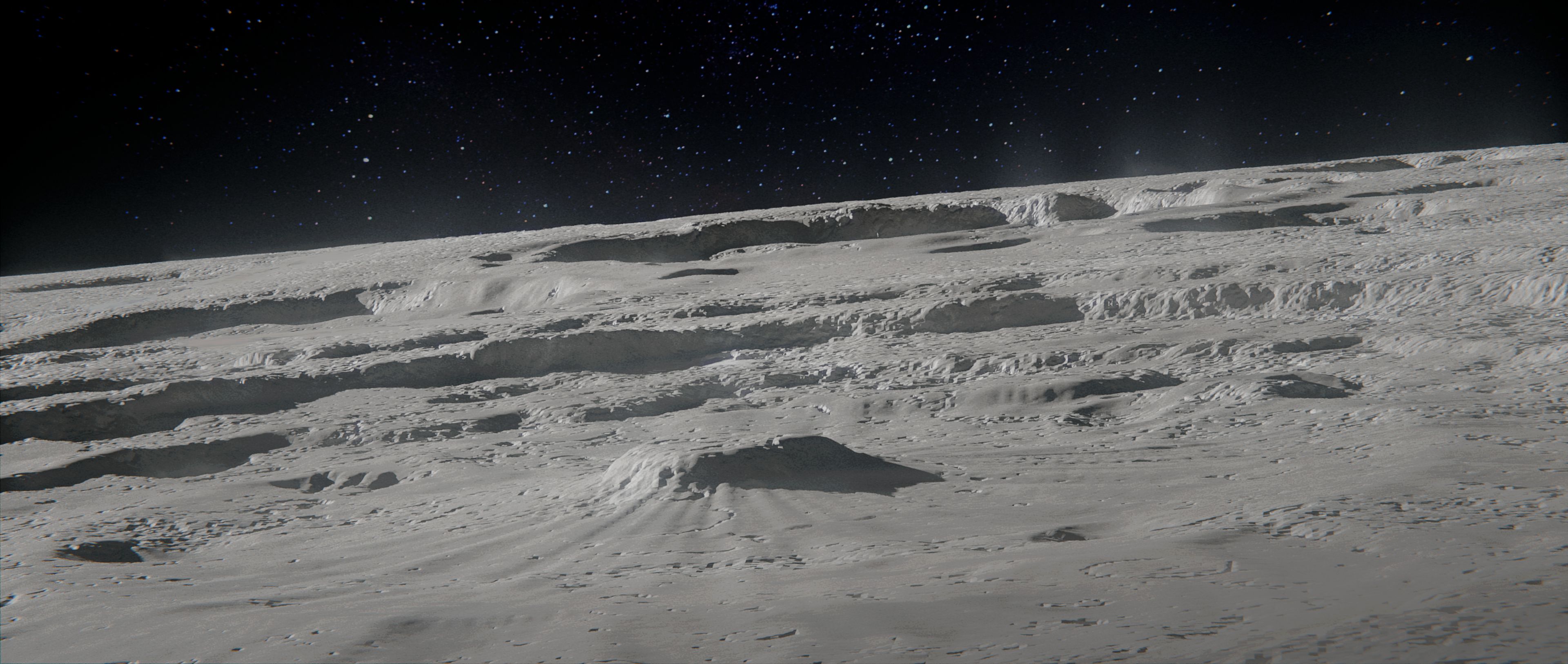
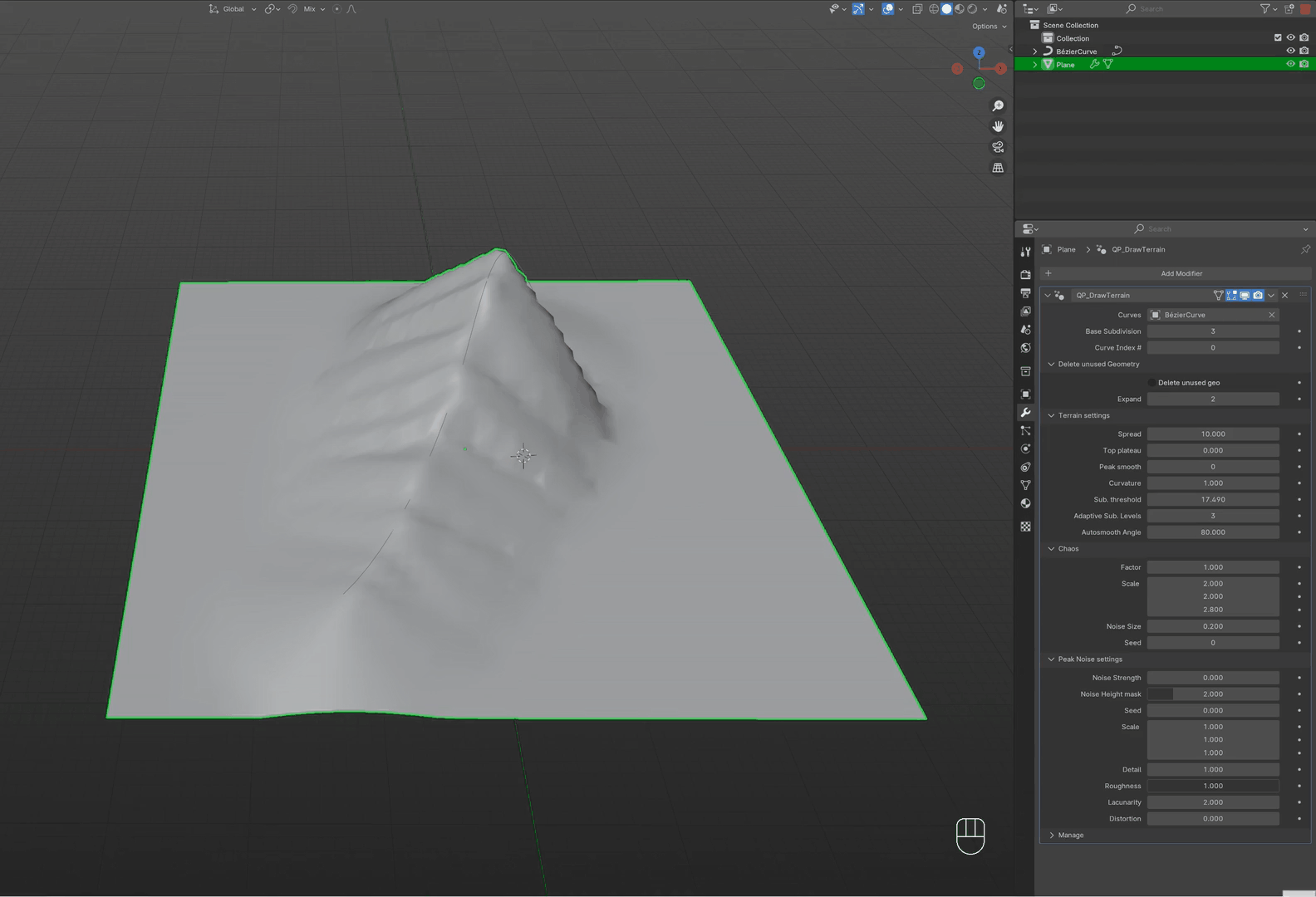
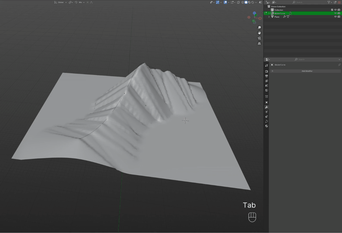
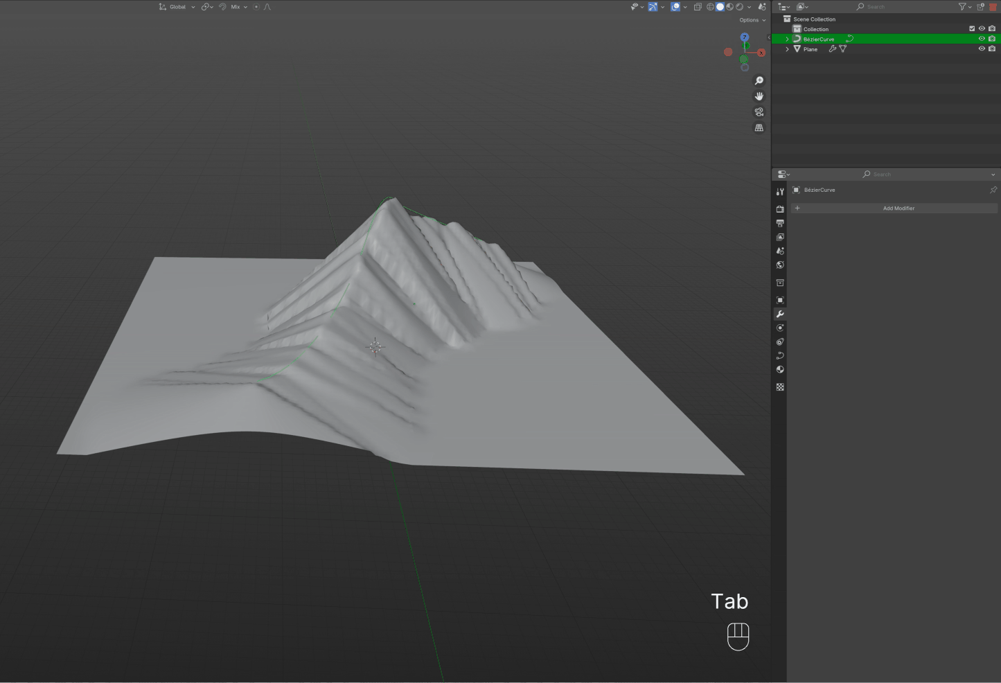
DrawTerrain gives you the ability to just draw curves and your terrain will follow them.

One of the main feature under the hood, is the adaptive subdivision of the geometry generated.
It helps you optimize and keep the terrain creation optimal and as interactive as possible while keeping the details where it matters most!
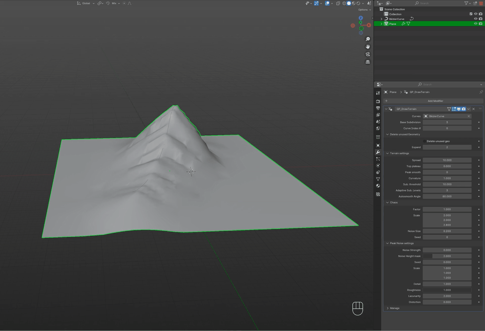
You can control the shape of your terrain as you want
Even delete the geometry not affected by the curve if you want to create assets to insert in different parts of your scene!

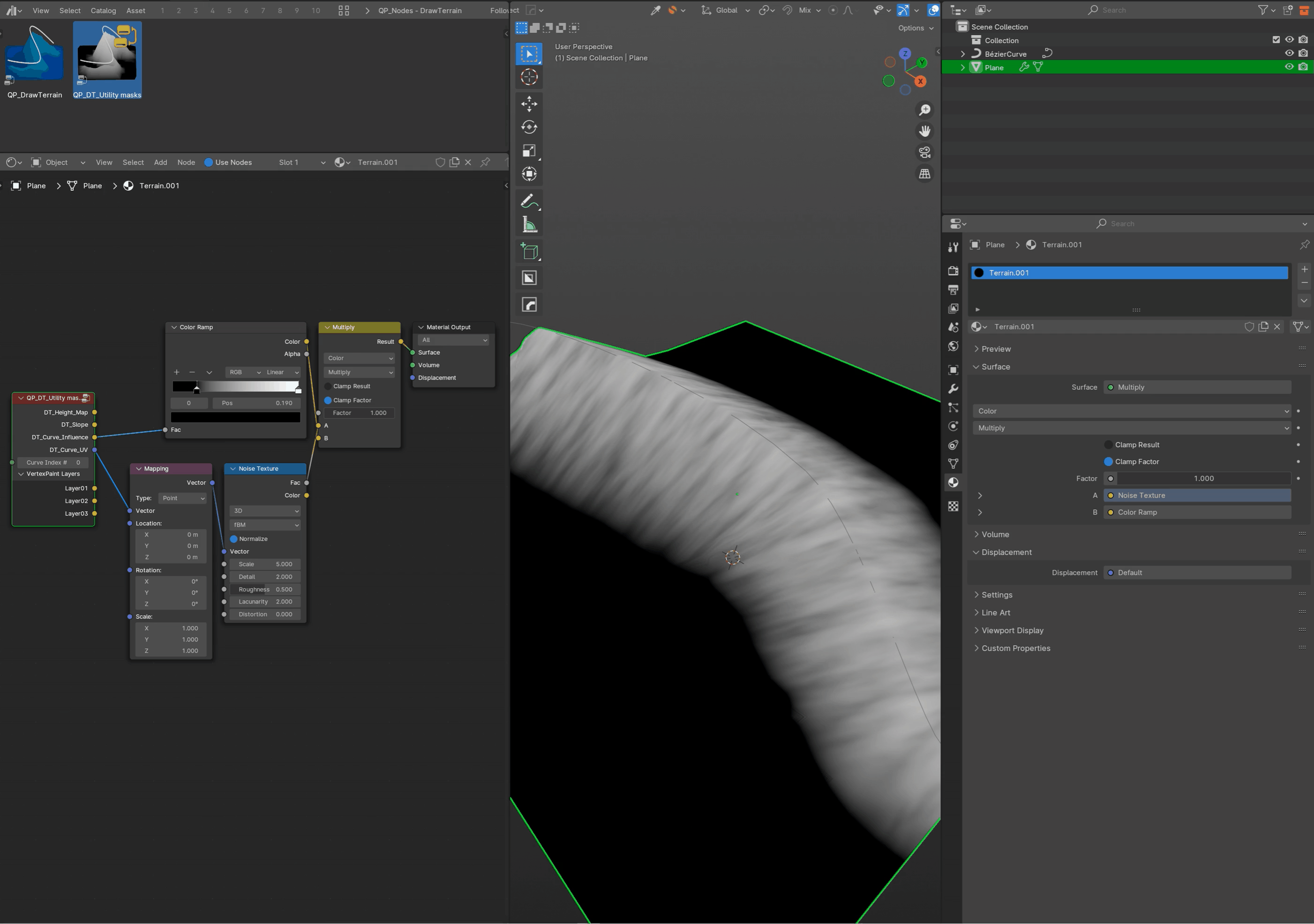
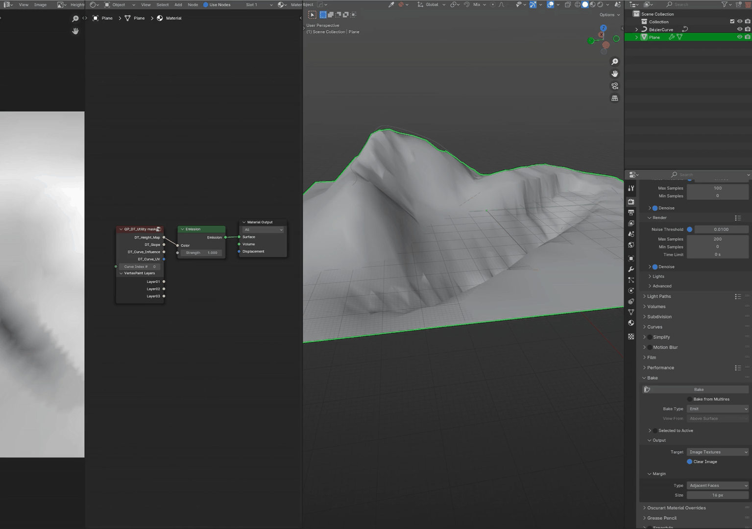
While working on your terrain you can use the Shading features provided in the node group DT_Utility masks like:
- Heightmap
- Slope
- Curve Influence
- UVs following the direction of your curves, this is ideal to texture your terrain with logical mapping
- Support for multiple curve IDs on the same terrain for multiple setup affecting the same plane
- VertexPaint support of 3 layers (Layer01, Layer02, Layer03) (Don't forget to subdivide your plane and reduce the base subdivision)
You can add a second DrawTerrain modifier, change the Curve ID# and start drawing a path, road or just more mountains, valleys
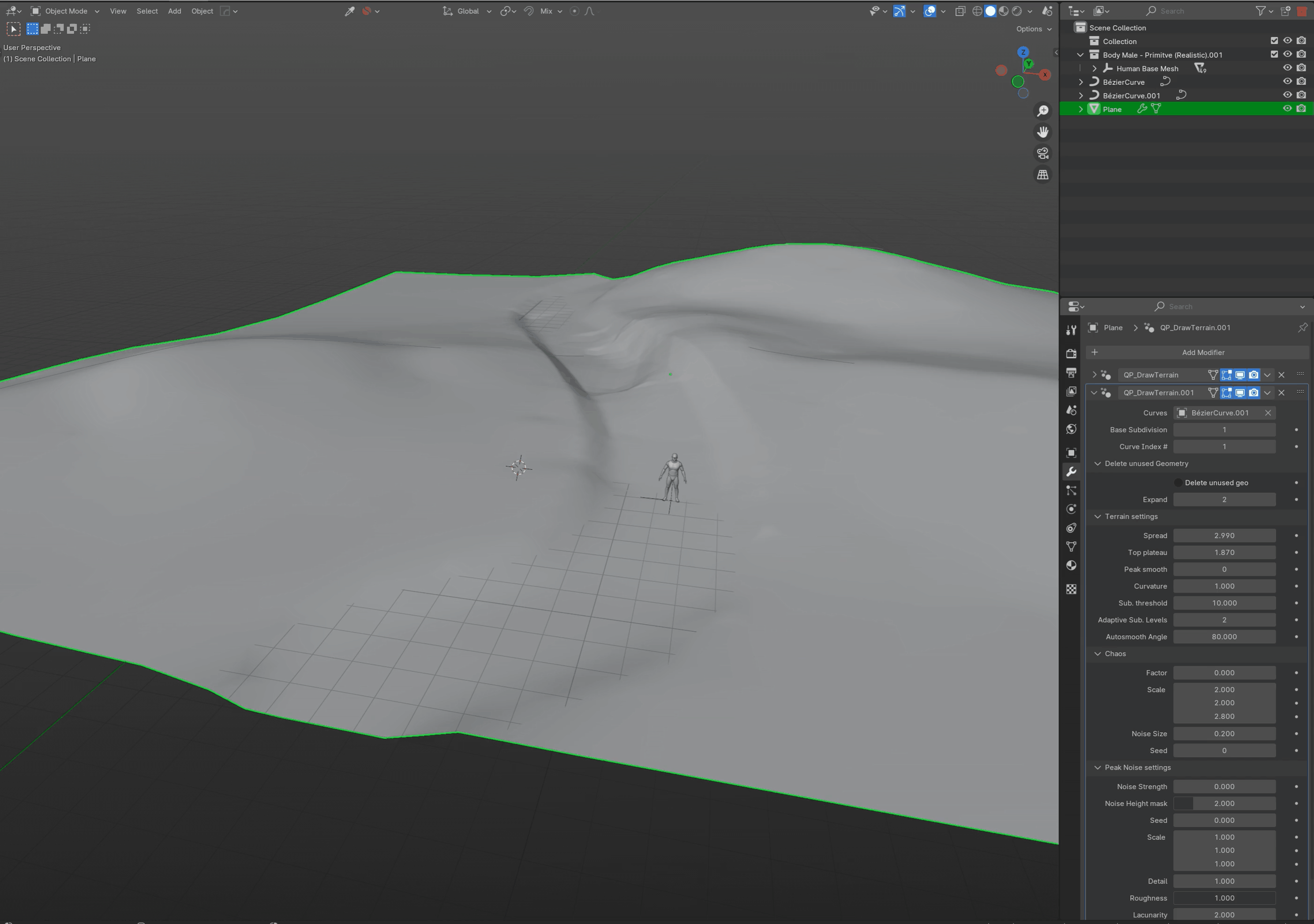
To further optimize your scene, you can work with multiple planes with different levels of subdivision. This will help you control how your scene behaves while keeping the shapes you need.
Don't hesitate to overlap your planes a bit to make sure the transition is more accurate.

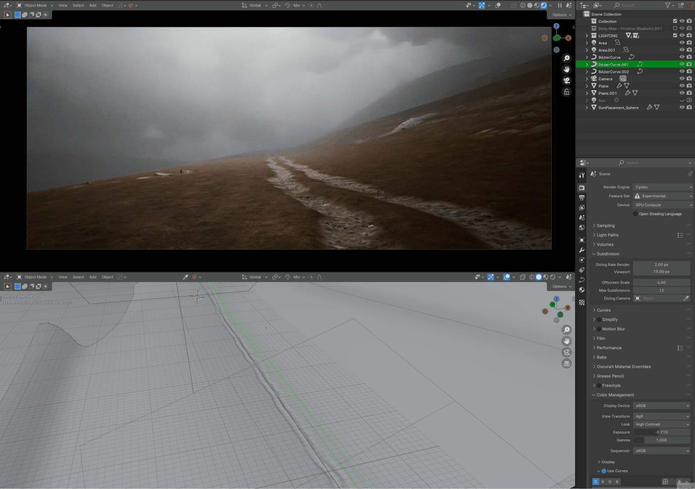
Things start to get interesting when you stack planes on top of each other and change the settings of the DrawTerrain modifier.
You can then start to have very complex setups with sedimentation, sand, snow etc to break up your shapes.
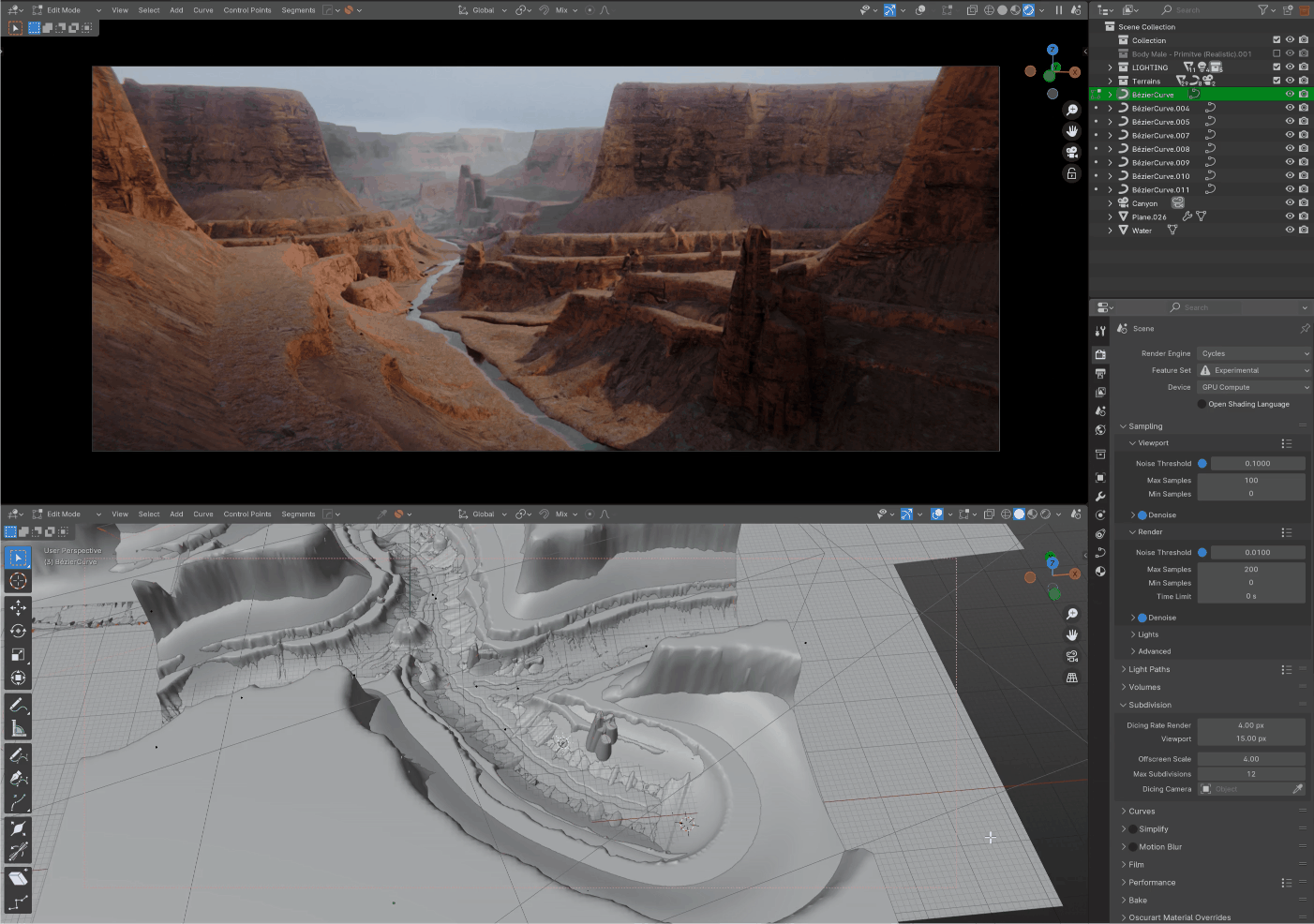
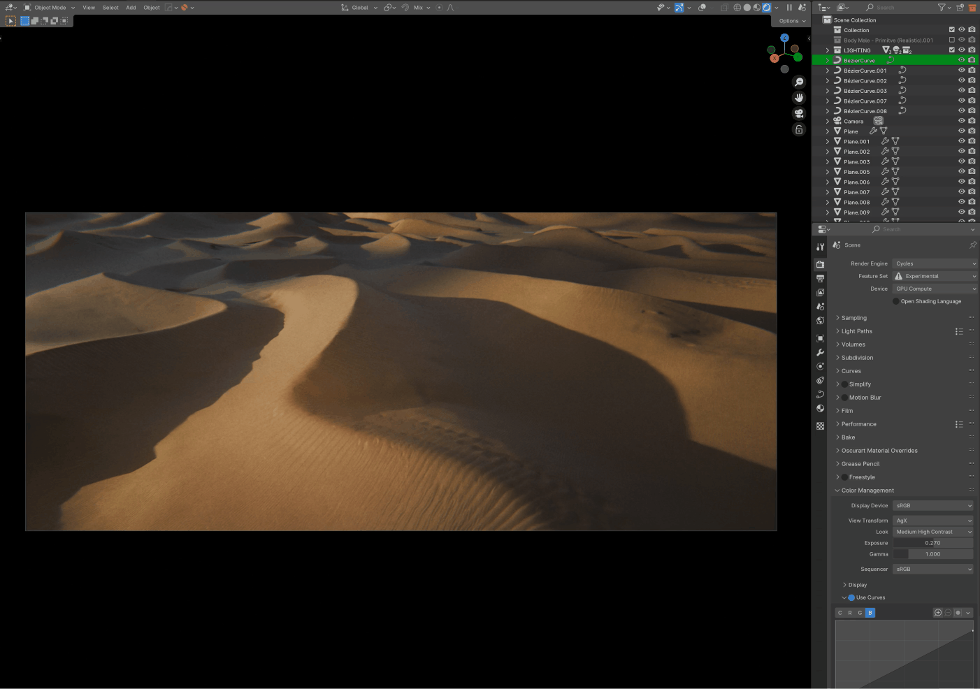
And last but not least, if you want to take things to the next level of realism. You can easily export your heightmap from Blender to Gaea or World Creator, Unreal Engine etc to take advantage of their powerful erosion system and other features.
Discover more products like this
matte painting 3d concept 2d-illustration Blender geometry nodes 3d-terrain 3d illustration